Ugly Housing Development on Cornwall Road N15
Introduction
The photograph on this page of Ugly Housing Development on Cornwall Road N15 by John Kingdon as part of the Geograph project.
The Geograph project started in 2005 with the aim of publishing, organising and preserving representative images for every square kilometre of Great Britain, Ireland and the Isle of Man.

There are currently over 7.5m images from over 14,400 individuals and you can help contribute to the project by visiting https://www.geograph.org.uk
Ugly Housing Development on Cornwall Road N15
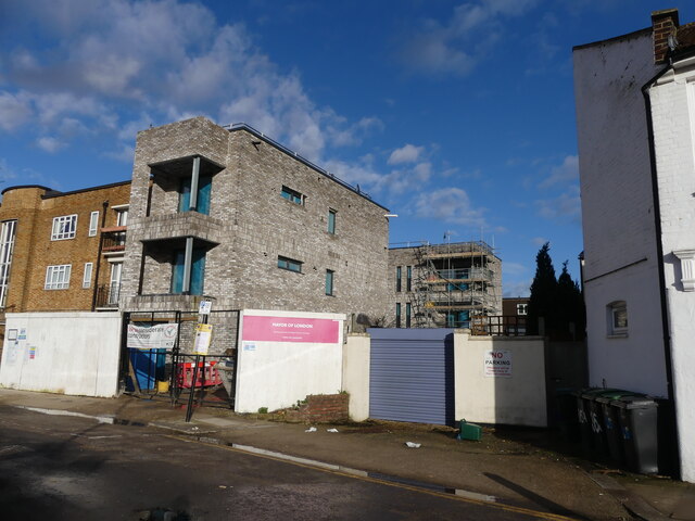
Image: © John Kingdon Taken: 18 Feb 2024
This brutal development of affordable homes by the Mayor of London is so uncompromising and unsympathetic to its surroundings it makes me wince. The 1950's yellow brick Council flats to the left were built upon a site of Victorian houses destroyed in 1944 by a V1 rocket bomb and they have a gentle grace to their design. Why could the new development not have been blended in?
Images are licensed for reuse under creativecommons.org/licenses/by-sa/2.0
Image Location
Latitude
51.583898
Longitude
-0.08711