Two Boundary Markers in the Poldice Valley
Introduction
The photograph on this page of Two Boundary Markers in the Poldice Valley by P Barnett as part of the Geograph project.
The Geograph project started in 2005 with the aim of publishing, organising and preserving representative images for every square kilometre of Great Britain, Ireland and the Isle of Man.

There are currently over 7.5m images from over 14,400 individuals and you can help contribute to the project by visiting https://www.geograph.org.uk
Two Boundary Markers in the Poldice Valley
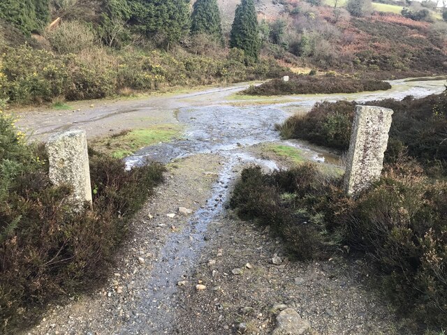
Image: © P Barnett Taken: 9 Feb 2024
Two Mine Boundary Markers beside a track inside a mining area in the Poldice Valley. On the left is Milestone Society National ID: CW_GWECHA52em and on the right is Milestone Society National ID: CW_GWECHA53em. On the current boundary between Gwennap and Chacewater parishes. These stones not only define the parish boundary but also the mineral rights of local landowners
Images are licensed for reuse under creativecommons.org/licenses/by-sa/2.0
Image Location
Latitude
50.243367
Longitude
-5.160373