Public footpath above Stanton Tunnel
Introduction
The photograph on this page of Public footpath above Stanton Tunnel by SK53 as part of the Geograph project.
The Geograph project started in 2005 with the aim of publishing, organising and preserving representative images for every square kilometre of Great Britain, Ireland and the Isle of Man.

There are currently over 7.5m images from over 14,400 individuals and you can help contribute to the project by visiting https://www.geograph.org.uk
Public footpath above Stanton Tunnel
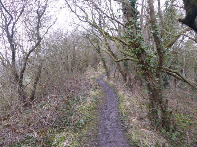
Image: © SK53 Taken: 1 Apr 2018
This path follows the crest of the tunnel spoil deposited over the line of the tunnel. It forms part of the Nottinghamshire Wolds Way, a regional trail created by Notts Footpath Preservation.
Images are licensed for reuse under creativecommons.org/licenses/by-sa/2.0
Image Location
Latitude
52.871986
Longitude
-1.054183