Lower Drive, Seaford, East Sussex
Introduction
The photograph on this page of Lower Drive, Seaford, East Sussex by Kevin Gordon as part of the Geograph project.
The Geograph project started in 2005 with the aim of publishing, organising and preserving representative images for every square kilometre of Great Britain, Ireland and the Isle of Man.

There are currently over 7.5m images from over 14,400 individuals and you can help contribute to the project by visiting https://www.geograph.org.uk
Lower Drive, Seaford, East Sussex
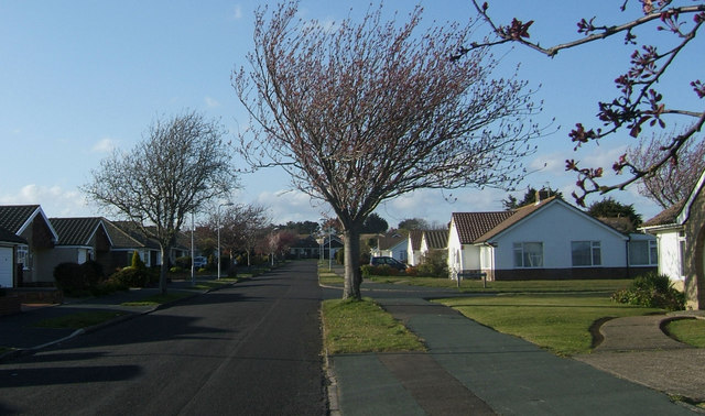
Image: © Kevin Gordon Taken: 11 Apr 2008
Lower Drive is named after Mark Antony LOWER (1813-1876) who was a school master and local historian. He lived in Seaford from 1867 and was responsible for establishing the Sussex Archaeological Society.
Images are licensed for reuse under creativecommons.org/licenses/by-sa/2.0
Image Location
Latitude
50.782954
Longitude
0.107425