From Hurtle Hill
Introduction
The photograph on this page of From Hurtle Hill by Richard Greenwood as part of the Geograph project.
The Geograph project started in 2005 with the aim of publishing, organising and preserving representative images for every square kilometre of Great Britain, Ireland and the Isle of Man.

There are currently over 7.5m images from over 14,400 individuals and you can help contribute to the project by visiting https://www.geograph.org.uk
From Hurtle Hill
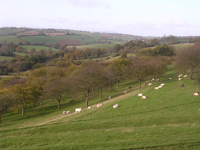
Image: © Richard Greenwood Taken: 12 Nov 2005
North West Worcestershire was once famous for cherry orchards but in the last 50 years many have been neglected and more recently grubbed up. This view looks West down into the valley of Dick Brook with Titterstone Clee just visible in the far background.
Images are licensed for reuse under creativecommons.org/licenses/by-sa/2.0
Image Location


Leaflet Map data © OpenStreetMap
Latitude
52.329425
Longitude
-2.33159