Playground at Llanfihangel-ar-ardd
Introduction
The photograph on this page of Playground at Llanfihangel-ar-ardd by Marion Phillips as part of the Geograph project.
The Geograph project started in 2005 with the aim of publishing, organising and preserving representative images for every square kilometre of Great Britain, Ireland and the Isle of Man.

There are currently over 7.5m images from over 14,400 individuals and you can help contribute to the project by visiting https://www.geograph.org.uk
Playground at Llanfihangel-ar-ardd
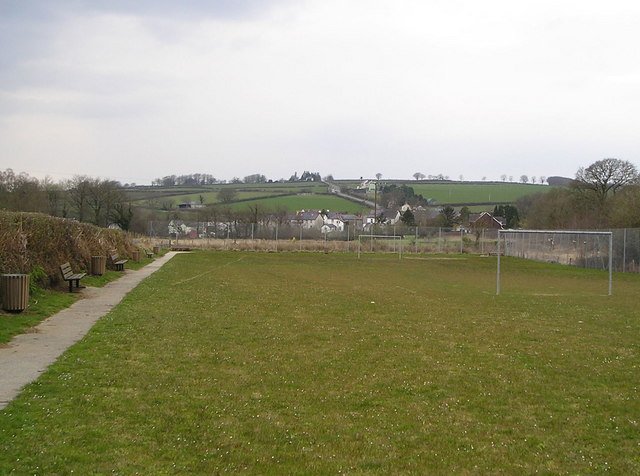
Image: © Marion Phillips Taken: 18 Apr 2008
Playing field with goal posts. The village of Llanfihangel-ar-ardd can be seen behind and the B4336 road climbing the hill towards Llandysul.
Images are licensed for reuse under creativecommons.org/licenses/by-sa/2.0
Image Location


Leaflet Map data © OpenStreetMap
Latitude
52.029964
Longitude
-4.250165