Iron Age Fort
Introduction
The photograph on this page of Iron Age Fort by Marion Phillips as part of the Geograph project.
The Geograph project started in 2005 with the aim of publishing, organising and preserving representative images for every square kilometre of Great Britain, Ireland and the Isle of Man.

There are currently over 7.5m images from over 14,400 individuals and you can help contribute to the project by visiting https://www.geograph.org.uk
Iron Age Fort
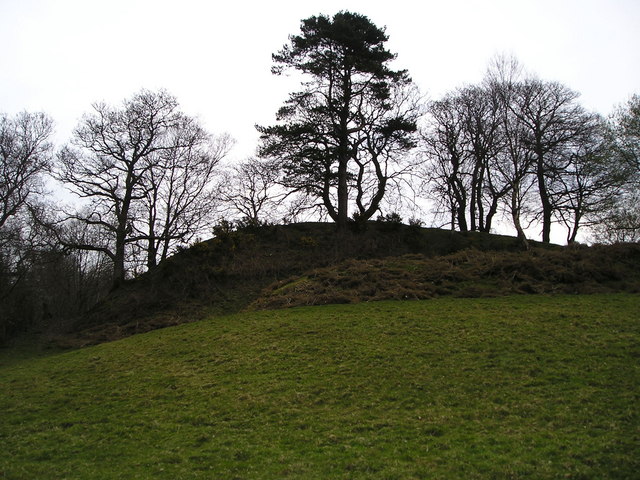
Image: © Marion Phillips Taken: 18 Apr 2008
This is one of a number of hill forts in this area, strategically placed on hills and protected by banks and ditches, that could be easily defended against enemies who would have to attack up-hill.
Images are licensed for reuse under creativecommons.org/licenses/by-sa/2.0
Image Location
Latitude
52.037049
Longitude
-4.232295