Bennettsend Bridge Aqueduct
Introduction
The photograph on this page of Bennettsend Bridge Aqueduct by DI Wyman as part of the Geograph project.
The Geograph project started in 2005 with the aim of publishing, organising and preserving representative images for every square kilometre of Great Britain, Ireland and the Isle of Man.

There are currently over 7.5m images from over 14,400 individuals and you can help contribute to the project by visiting https://www.geograph.org.uk
Bennettsend Bridge Aqueduct
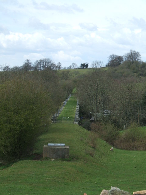
Image: © DI Wyman Taken: 15 Apr 2008
The water pipeline from Elan Valley to Birmingham crosses this valley from west to east just to the south east of Knowbury near Cleehill in Shropshire.
Images are licensed for reuse under creativecommons.org/licenses/by-sa/2.0
Image Location


Leaflet Map data © OpenStreetMap
Latitude
52.36514
Longitude
-2.616766