Piddington
Introduction
The photograph on this page of Piddington by Andrew Smith as part of the Geograph project.
The Geograph project started in 2005 with the aim of publishing, organising and preserving representative images for every square kilometre of Great Britain, Ireland and the Isle of Man.

There are currently over 7.5m images from over 14,400 individuals and you can help contribute to the project by visiting https://www.geograph.org.uk
Piddington
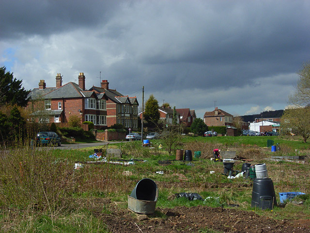
Image: © Andrew Smith Taken: 12 Apr 2008
Allotments sandwiched between the old and new Oxford Roads (the A40) at the eastern end of the village. Piddington is a mostly twentieth century village that grew up around a furniture factory. The white building ahead is now a car dealership.
Images are licensed for reuse under creativecommons.org/licenses/by-sa/2.0
Image Location
Latitude
51.639866
Longitude
-0.829449