Western end of Pound Lane
Introduction
The photograph on this page of Western end of Pound Lane by David Martin as part of the Geograph project.
The Geograph project started in 2005 with the aim of publishing, organising and preserving representative images for every square kilometre of Great Britain, Ireland and the Isle of Man.

There are currently over 7.5m images from over 14,400 individuals and you can help contribute to the project by visiting https://www.geograph.org.uk
Western end of Pound Lane
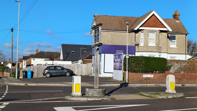
Image: © David Martin Taken: 6 Jan 2024
The sign in the middle of the junction explains that this was once the site of a pound for impounding cattle, hence the road name. For a close-up view of the sign, see Image
Images are licensed for reuse under creativecommons.org/licenses/by-sa/2.0
Image Location
Latitude
50.728156
Longitude
-1.973737