View towards Cwm Camnant and Henfryn
Introduction
The photograph on this page of View towards Cwm Camnant and Henfryn by Natasha Ceridwen de Chroustchoff as part of the Geograph project.
The Geograph project started in 2005 with the aim of publishing, organising and preserving representative images for every square kilometre of Great Britain, Ireland and the Isle of Man.

There are currently over 7.5m images from over 14,400 individuals and you can help contribute to the project by visiting https://www.geograph.org.uk
View towards Cwm Camnant and Henfryn
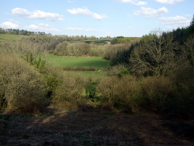
Image: © Natasha Ceridwen de Chroustchoff Taken: 17 Apr 2008
View east from the B4335 across a small side valley of the Teifi where the Camnant (crooked stream) runs down towards the main river.
Images are licensed for reuse under creativecommons.org/licenses/by-sa/2.0
Image Location
Latitude
52.024945
Longitude
-4.364052