The Caldew Cycleway
Introduction
The photograph on this page of The Caldew Cycleway by Adrian Taylor as part of the Geograph project.
The Geograph project started in 2005 with the aim of publishing, organising and preserving representative images for every square kilometre of Great Britain, Ireland and the Isle of Man.

There are currently over 7.5m images from over 14,400 individuals and you can help contribute to the project by visiting https://www.geograph.org.uk
The Caldew Cycleway
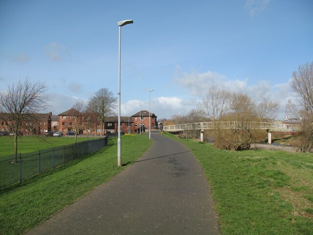
Image: © Adrian Taylor Taken: 11 Mar 2019
The Caldew Cycleway is also the route of The Cumbria Way long distance path (next photograph Image). The Robert Ferguson Primary School playing fields are on the left.
Images are licensed for reuse under creativecommons.org/licenses/by-sa/2.0
Image Location
Latitude
54.885223
Longitude
-2.937743