Hornbrook Hill
Introduction
The photograph on this page of Hornbrook Hill by Simon Carey as part of the Geograph project.
The Geograph project started in 2005 with the aim of publishing, organising and preserving representative images for every square kilometre of Great Britain, Ireland and the Isle of Man.

There are currently over 7.5m images from over 14,400 individuals and you can help contribute to the project by visiting https://www.geograph.org.uk
Hornbrook Hill
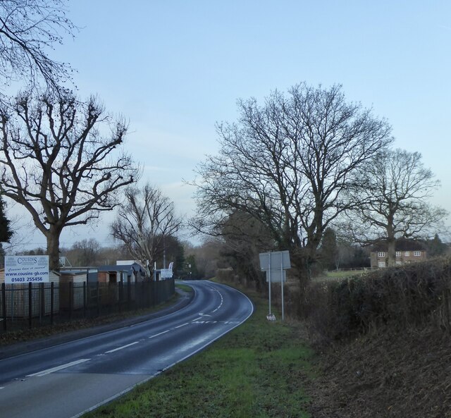
Image: © Simon Carey Taken: 26 Dec 2023
The name of the section of the A281 between the junction with Sedgewick Lane and Doomsday Lane and the crossing of Horn Brook. Hornbrook Farm is on the right.
Images are licensed for reuse under creativecommons.org/licenses/by-sa/2.0
Image Location


Leaflet Map data © OpenStreetMap
Latitude
51.053912
Longitude
-0.306083