Senior Citizens Club, Abbey End, Kenilworth
Introduction
The photograph on this page of Senior Citizens Club, Abbey End, Kenilworth by Ian Dodds as part of the Geograph project.
The Geograph project started in 2005 with the aim of publishing, organising and preserving representative images for every square kilometre of Great Britain, Ireland and the Isle of Man.

There are currently over 7.5m images from over 14,400 individuals and you can help contribute to the project by visiting https://www.geograph.org.uk
Senior Citizens Club, Abbey End, Kenilworth
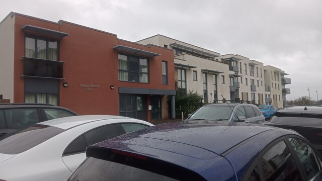
Image: © Ian Dodds Taken: 27 Dec 2023
The block that the club is a part of is actually called Wilton Court which, coincidentally or not, is otherwise made up of retirement flats. Abbey End, however, is the address given to it on its main online listing. This must be the name given to the road which runs alongside the long narrow car park its front door opens onto. On maps though, this road remains nameless; Abbey End is officially, by the looks of it, the major road running just West of here, parallel to the edge of the block pictured. As nearby Coventry was so heavily bombed during the Second World War it is a little surprising that Kenilworth - which is located just two or three miles South - remained relatively so unscathed. There was only one major loss of life, which occurred very close to here, on the official bit of Abbey End. On either side of the section of that road North of today's roundabout, buildings that occupied the space now taken up by the Eastern bit of the Holiday Inn's car park and the pavement in front of the shops opposite were either destroyed or badly damaged by a German 'landmine' in 1940. 'Landmine' isn't an old word for a bomb, and it wasn't used back then with its modern meaning yet either. In fact it referred to something between the two: they were as big as bombs (the one that led to the 25 deaths in this instance is reported to have weighed half a tonne), but were unable to detonate properly at high speeds and so had parachutes attached to slow them down Theoretically they could be detonated using a timer but contact was the usual cause of explosion. According to local historian Robin Leach, who has undertaken a lot of research regarding this (a lot of which is available online on the Kenilworth-WW2 website), due to the lack of a crater and the minimal damage to the nearby road clocktower it is most likely that the 'mine' exploded after coming into contact with the roof of one of the properties on Abbey End. Poignantly, the last of the 25 dead is listed on today's memorial plaque as 'an unknown soul'.
Images are licensed for reuse under creativecommons.org/licenses/by-sa/2.0
Image Location
Latitude
52.344698
Longitude
-1.579838