Church Road, Mannings Heath
Introduction
The photograph on this page of Church Road, Mannings Heath by Simon Carey as part of the Geograph project.
The Geograph project started in 2005 with the aim of publishing, organising and preserving representative images for every square kilometre of Great Britain, Ireland and the Isle of Man.

There are currently over 7.5m images from over 14,400 individuals and you can help contribute to the project by visiting https://www.geograph.org.uk
Church Road, Mannings Heath
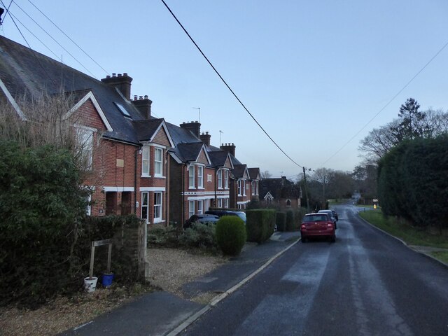
Image: © Simon Carey Taken: 26 Dec 2023
The semi-detached dwellings on the left are, from left to right: Dunston Cottages, Crofton Corrages and Craven Cottages, all built in 1913.
Images are licensed for reuse under creativecommons.org/licenses/by-sa/2.0
Image Location
Latitude
51.044322
Longitude
-0.283608