Aberhoffnant
Introduction
The photograph on this page of Aberhoffnant by Marion Phillips as part of the Geograph project.
The Geograph project started in 2005 with the aim of publishing, organising and preserving representative images for every square kilometre of Great Britain, Ireland and the Isle of Man.

There are currently over 7.5m images from over 14,400 individuals and you can help contribute to the project by visiting https://www.geograph.org.uk
Aberhoffnant
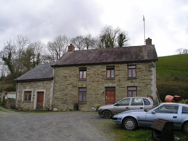
Image: © Marion Phillips Taken: 15 Apr 2008
This old farmhouse looks out over the flatter land of the Teifi Valley and has rising land behind.
Images are licensed for reuse under creativecommons.org/licenses/by-sa/2.0
Image Location


Leaflet Map data © OpenStreetMap
Latitude
52.036976
Longitude
-4.342523