Maesydderwen
Introduction
The photograph on this page of Maesydderwen by Marion Phillips as part of the Geograph project.
The Geograph project started in 2005 with the aim of publishing, organising and preserving representative images for every square kilometre of Great Britain, Ireland and the Isle of Man.

There are currently over 7.5m images from over 14,400 individuals and you can help contribute to the project by visiting https://www.geograph.org.uk
Maesydderwen
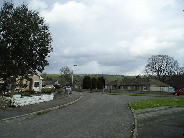
Image: © Marion Phillips Taken: 15 Apr 2008
Small estate of council bungalows. Beyond you can see a ridge of hills with the hamlet of Bancyffordd on the skyline.
Images are licensed for reuse under creativecommons.org/licenses/by-sa/2.0
Image Location
Latitude
52.021273
Longitude
-4.349865