Bluebells and Hedgerow alongside a bridle path
Introduction
The photograph on this page of Bluebells and Hedgerow alongside a bridle path by Anna Rutherford as part of the Geograph project.
The Geograph project started in 2005 with the aim of publishing, organising and preserving representative images for every square kilometre of Great Britain, Ireland and the Isle of Man.

There are currently over 7.5m images from over 14,400 individuals and you can help contribute to the project by visiting https://www.geograph.org.uk
Bluebells and Hedgerow alongside a bridle path
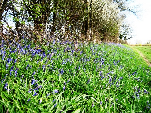
Image: © Anna Rutherford Taken: 15 Apr 2008
One of many bridle paths and public footpaths from Burgess Hill to Wivelsfield
Images are licensed for reuse under creativecommons.org/licenses/by-sa/2.0
Image Location


Leaflet Map data © OpenStreetMap
Latitude
50.967538
Longitude
-0.109977