Morris Way and the edge of Bickenhill Plantations
Introduction
The photograph on this page of Morris Way and the edge of Bickenhill Plantations by Richard Law as part of the Geograph project.
The Geograph project started in 2005 with the aim of publishing, organising and preserving representative images for every square kilometre of Great Britain, Ireland and the Isle of Man.

There are currently over 7.5m images from over 14,400 individuals and you can help contribute to the project by visiting https://www.geograph.org.uk
Morris Way and the edge of Bickenhill Plantations
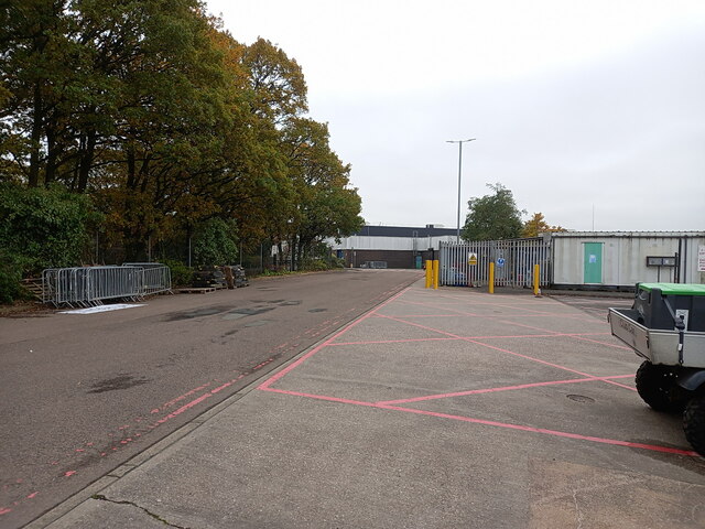
Image: © Richard Law Taken: 16 Nov 2023
The woodland on the left pre-dates all the nearby industrial development and the NEC, it's shown as a large patch of forest set in fields on older maps, certainly as far back as the 1880s.
Images are licensed for reuse under creativecommons.org/licenses/by-sa/2.0
Image Location
Latitude
52.454173
Longitude
-1.724482