Staffordshire and Worcestershire Canal near Claregate in Wolverhampton
Introduction
The photograph on this page of Staffordshire and Worcestershire Canal near Claregate in Wolverhampton by Roger Kidd as part of the Geograph project.
The Geograph project started in 2005 with the aim of publishing, organising and preserving representative images for every square kilometre of Great Britain, Ireland and the Isle of Man.

There are currently over 7.5m images from over 14,400 individuals and you can help contribute to the project by visiting https://www.geograph.org.uk
Staffordshire and Worcestershire Canal near Claregate in Wolverhampton
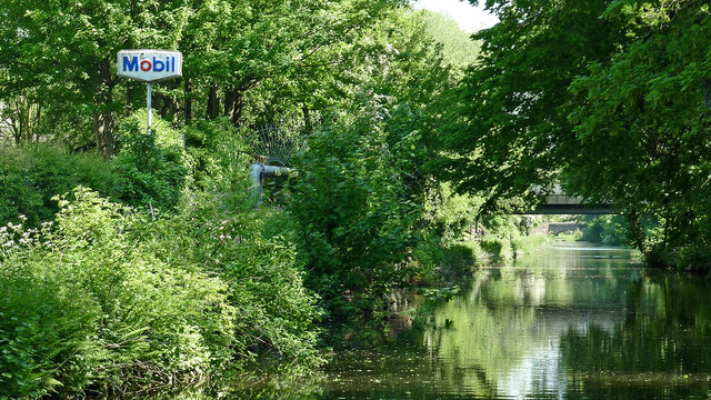
Image: © Roger Kidd Taken: 18 May 2014
Looking north-easttowards Aldersley Junction Three quarters of a mile) and Autherley Junction (one and a quarter miles). There have been no fuel or other faciliies at Victoria Wharf (off to the left) for many years.
Images are licensed for reuse under creativecommons.org/licenses/by-sa/2.0
Image Location
Latitude
52.600297
Longitude
-2.155574