Bexon Lane
Introduction
The photograph on this page of Bexon Lane by Marathon as part of the Geograph project.
The Geograph project started in 2005 with the aim of publishing, organising and preserving representative images for every square kilometre of Great Britain, Ireland and the Isle of Man.

There are currently over 7.5m images from over 14,400 individuals and you can help contribute to the project by visiting https://www.geograph.org.uk
Bexon Lane
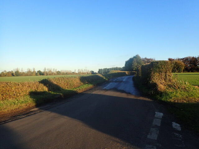
Image: © Marathon Taken: 11 Nov 2023
This view is from the crossroads where Bexon Lane meets Ruins Barn Road to the left and Hawks Hill Lane to the right.
Images are licensed for reuse under creativecommons.org/licenses/by-sa/2.0
Image Location
Latitude
51.304931
Longitude
0.714488