Elms Drive, Quorn
Introduction
The photograph on this page of Elms Drive, Quorn by Stephen McKay as part of the Geograph project.
The Geograph project started in 2005 with the aim of publishing, organising and preserving representative images for every square kilometre of Great Britain, Ireland and the Isle of Man.

There are currently over 7.5m images from over 14,400 individuals and you can help contribute to the project by visiting https://www.geograph.org.uk
Elms Drive, Quorn
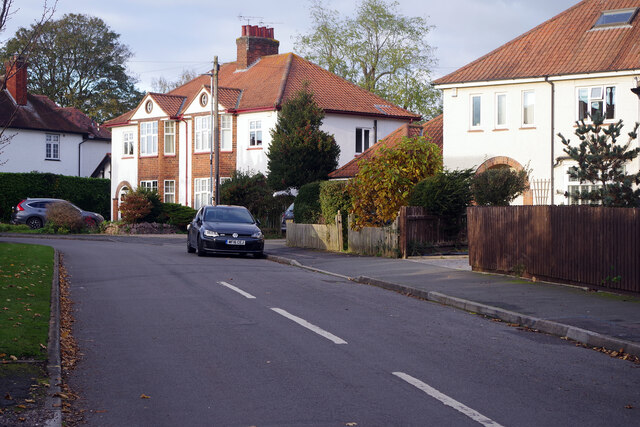
Image: © Stephen McKay Taken: 10 Nov 2023
Elms Drive forms part of the extensive suburban development on the west side of Quorn. Quorn is one of a number of large suburban villages stretched through the Soar vallay between Leicester and Loughborough making for an almost continuous urban corridor.
Images are licensed for reuse under creativecommons.org/licenses/by-sa/2.0
Image Location
Latitude
52.741018
Longitude
-1.176556