Burnham House, Bredgar
Introduction
The photograph on this page of Burnham House, Bredgar by Marathon as part of the Geograph project.
The Geograph project started in 2005 with the aim of publishing, organising and preserving representative images for every square kilometre of Great Britain, Ireland and the Isle of Man.

There are currently over 7.5m images from over 14,400 individuals and you can help contribute to the project by visiting https://www.geograph.org.uk
Burnham House, Bredgar
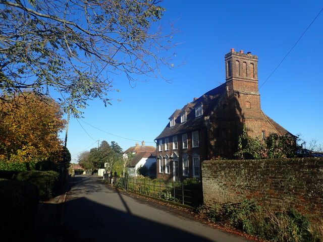
Image: © Marathon Taken: 11 Nov 2023
This view looks across The Street. John Newman in Pevsner's Buildings of England: North East & East Kent says that the side facing here is 18th century whereas on the other side which faces the churchyard is a "characterful piece of 17th century brickwork". However, there is a stone on the path leading to the front door which shows a dater of c.1520.
Images are licensed for reuse under creativecommons.org/licenses/by-sa/2.0
Image Location
Latitude
51.311293
Longitude
0.696064