Houses, Beulah Hill, Upper Norwood
Introduction
The photograph on this page of Houses, Beulah Hill, Upper Norwood by Robin Stott as part of the Geograph project.
The Geograph project started in 2005 with the aim of publishing, organising and preserving representative images for every square kilometre of Great Britain, Ireland and the Isle of Man.

There are currently over 7.5m images from over 14,400 individuals and you can help contribute to the project by visiting https://www.geograph.org.uk
Houses, Beulah Hill, Upper Norwood
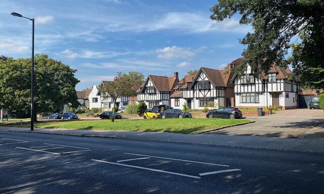
Image: © Robin Stott Taken: 3 Sep 2023
Set back from Beulah Hill, these distinctive half-timbered houses show their character with pride. Photo number 7650520.
Images are licensed for reuse under creativecommons.org/licenses/by-sa/2.0
Image Location
Latitude
51.413071
Longitude
-0.089072