Penmain Chapel yard
Introduction
The photograph on this page of Penmain Chapel yard by Robin Drayton as part of the Geograph project.
The Geograph project started in 2005 with the aim of publishing, organising and preserving representative images for every square kilometre of Great Britain, Ireland and the Isle of Man.

There are currently over 7.5m images from over 14,400 individuals and you can help contribute to the project by visiting https://www.geograph.org.uk
Penmain Chapel yard
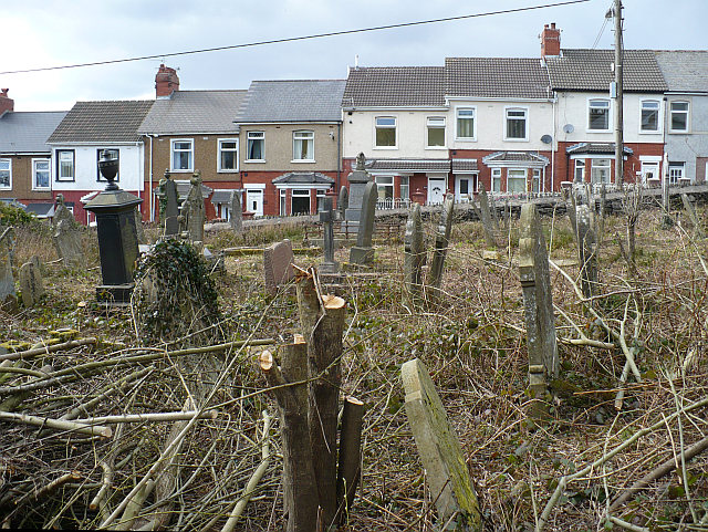
Image: © Robin Drayton Taken: 5 Apr 2008
Work has commenced in clearing this very overgrown chapel yard. The houses opposite are in Oakdale Terrace.
Images are licensed for reuse under creativecommons.org/licenses/by-sa/2.0
Image Location
Latitude
51.672264
Longitude
-3.185174