Sheepleas
Introduction
The photograph on this page of Sheepleas by Ian Capper as part of the Geograph project.
The Geograph project started in 2005 with the aim of publishing, organising and preserving representative images for every square kilometre of Great Britain, Ireland and the Isle of Man.

There are currently over 7.5m images from over 14,400 individuals and you can help contribute to the project by visiting https://www.geograph.org.uk
Sheepleas
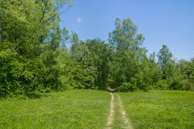
Image: © Ian Capper Taken: 30 May 2023
Area of chalk grassland and woodland south of West Horsley owned by Surrey County Council and managed by the Surrey Wildlife Trust.
Images are licensed for reuse under creativecommons.org/licenses/by-sa/2.0
Image Location
Latitude
51.252585
Longitude
-0.438896