Mannock Road Allotments Fortified Gate
Introduction
The photograph on this page of Mannock Road Allotments Fortified Gate by John Kingdon as part of the Geograph project.
The Geograph project started in 2005 with the aim of publishing, organising and preserving representative images for every square kilometre of Great Britain, Ireland and the Isle of Man.

There are currently over 7.5m images from over 14,400 individuals and you can help contribute to the project by visiting https://www.geograph.org.uk
Mannock Road Allotments Fortified Gate
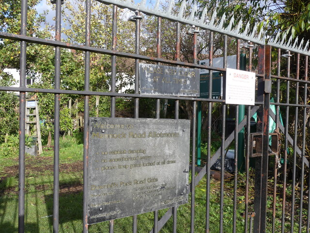
Image: © John Kingdon Taken: 9 Nov 2023
The Haringey Council signs are almost unreadable now but the 'danger' sign tells us rather starkly that the allotments are a 'hazardous area' and that the allotment management and tenants will not be liable for death or injury on the premises. I wonder if the new anti-climb razor devices on top of the gates might be the likely cause of death or are necessary to keep folk out of a deeply hazardous allotment. What has happened to our vegetable patches?
Images are licensed for reuse under creativecommons.org/licenses/by-sa/2.0
Image Location
Latitude
51.590355
Longitude
-0.097088