Former farm at Ebchester Glebe
Introduction
The photograph on this page of Former farm at Ebchester Glebe by Robert Graham as part of the Geograph project.
The Geograph project started in 2005 with the aim of publishing, organising and preserving representative images for every square kilometre of Great Britain, Ireland and the Isle of Man.

There are currently over 7.5m images from over 14,400 individuals and you can help contribute to the project by visiting https://www.geograph.org.uk
Former farm at Ebchester Glebe
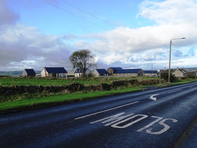
Image: © Robert Graham Taken: 6 Nov 2023
This farm stands beside Corbridge Road, the B6309. It is no longer a working farm having been all converted to residential in the 2010's. It dates from the early 19th century , but was originally called Broom Hill Farm. The land around it has always been Ebchester Glebe, but that name wasn't applied to the farm itself until the later 20th century.
Images are licensed for reuse under creativecommons.org/licenses/by-sa/2.0
Image Location
Latitude
54.881809
Longitude
-1.832415