Looking towards junction of Carter Lane and Goodman Street
Introduction
The photograph on this page of Looking towards junction of Carter Lane and Goodman Street by Basher Eyre as part of the Geograph project.
The Geograph project started in 2005 with the aim of publishing, organising and preserving representative images for every square kilometre of Great Britain, Ireland and the Isle of Man.

There are currently over 7.5m images from over 14,400 individuals and you can help contribute to the project by visiting https://www.geograph.org.uk
Looking towards junction of Carter Lane and Goodman Street
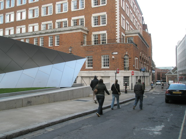
Image: © Basher Eyre Taken: 13 Apr 2008
The building on the left of the picture is a Tourist Information Centre. Carter Lane was the site of Blackfriars Priory. It was scheduled to be destroyed in the 1970s but won a reprieve. Long, D. (2021). London’s Secret Square Mile. 2nd ed. Cheltenham: The History Press.
Images are licensed for reuse under creativecommons.org/licenses/by-sa/2.0
Image Location
Latitude
51.513328
Longitude
-0.099435