Farmland near Trostrey
Introduction
The photograph on this page of Farmland near Trostrey by Roger Davies as part of the Geograph project.
The Geograph project started in 2005 with the aim of publishing, organising and preserving representative images for every square kilometre of Great Britain, Ireland and the Isle of Man.

There are currently over 7.5m images from over 14,400 individuals and you can help contribute to the project by visiting https://www.geograph.org.uk
Farmland near Trostrey
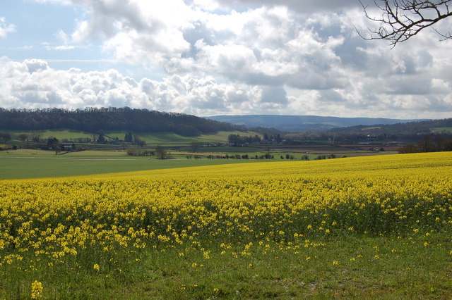
Image: © Roger Davies Taken: 13 Apr 2008
View looks southwards across a field of oil seed rape towards the small hamlet of Llancayo and Usk river valley.
Images are licensed for reuse under creativecommons.org/licenses/by-sa/2.0
Image Location
Latitude
51.732861
Longitude
-2.925673