Flooded bridleway beside the Ouse
Introduction
The photograph on this page of Flooded bridleway beside the Ouse by DS Pugh as part of the Geograph project.
The Geograph project started in 2005 with the aim of publishing, organising and preserving representative images for every square kilometre of Great Britain, Ireland and the Isle of Man.

There are currently over 7.5m images from over 14,400 individuals and you can help contribute to the project by visiting https://www.geograph.org.uk
Flooded bridleway beside the Ouse
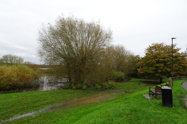
Image: © DS Pugh Taken: 4 Nov 2023
Many days of rain has raised the levels of the River Ouse with flooding alongside.
Images are licensed for reuse under creativecommons.org/licenses/by-sa/2.0
Image Location
Latitude
53.988494
Longitude
-1.150628