Cosheston Pill at low tide
Introduction
The photograph on this page of Cosheston Pill at low tide by David Medcalf as part of the Geograph project.
The Geograph project started in 2005 with the aim of publishing, organising and preserving representative images for every square kilometre of Great Britain, Ireland and the Isle of Man.

There are currently over 7.5m images from over 14,400 individuals and you can help contribute to the project by visiting https://www.geograph.org.uk
Cosheston Pill at low tide
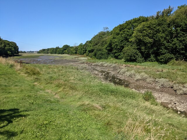
Image: © David Medcalf Taken: 8 Aug 2022
The stream entering the Pill is tiny and unnamed on the OS map, but the Pill is a very significant inlet on the Daugleddau.
Images are licensed for reuse under creativecommons.org/licenses/by-sa/2.0
Image Location
Latitude
51.693378
Longitude
-4.89069