Crossroads at New Herrington
Introduction
The photograph on this page of Crossroads at New Herrington by Robert Graham as part of the Geograph project.
The Geograph project started in 2005 with the aim of publishing, organising and preserving representative images for every square kilometre of Great Britain, Ireland and the Isle of Man.

There are currently over 7.5m images from over 14,400 individuals and you can help contribute to the project by visiting https://www.geograph.org.uk
Crossroads at New Herrington
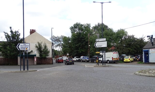
Image: © Robert Graham Taken: 15 Aug 2023
The junctionof the B1286 from New Herrington with the A182 on Philadelphia Lane on the western edge of the village.
Images are licensed for reuse under creativecommons.org/licenses/by-sa/2.0
Image Location
Latitude
54.86673
Longitude
-1.486118