Beeching Way
Introduction
The photograph on this page of Beeching Way by Ian Capper as part of the Geograph project.
The Geograph project started in 2005 with the aim of publishing, organising and preserving representative images for every square kilometre of Great Britain, Ireland and the Isle of Man.

There are currently over 7.5m images from over 14,400 individuals and you can help contribute to the project by visiting https://www.geograph.org.uk
Beeching Way
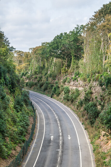
Image: © Ian Capper Taken: 26 Sep 2023
Relief road opened in 1978 to enable traffic on the A22 to avoid central East Grinstead. It utilised the route of the East Grinstead to Groombridge and Tunbridge Wells railway which had closed in 1967 under the Beeching cuts. This involved enlarging the cutting through which the railway had run, and the opening up of the short tunnel at this point under College Lane (this photo was taken from the overbridge built in its place). Richard (later Lord) Beeching was a resident of East Grinstead and the name of the road was chosen to commemorate this.
Images are licensed for reuse under creativecommons.org/licenses/by-sa/2.0
Image Location
Latitude
51.12704
Longitude
-0.005948