Station Road, Stalbridge
Introduction
The photograph on this page of Station Road, Stalbridge by Derek Harper as part of the Geograph project.
The Geograph project started in 2005 with the aim of publishing, organising and preserving representative images for every square kilometre of Great Britain, Ireland and the Isle of Man.

There are currently over 7.5m images from over 14,400 individuals and you can help contribute to the project by visiting https://www.geograph.org.uk
Station Road, Stalbridge
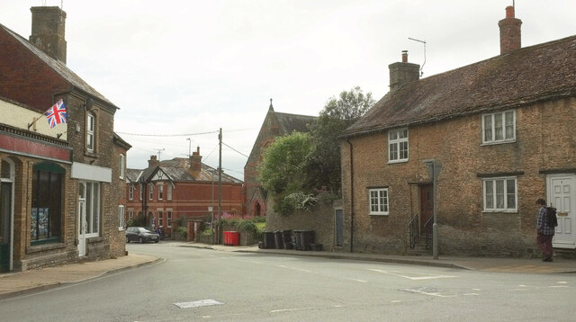
Image: © Derek Harper Taken: 26 May 2022
Seen across the junction with the A357 High Street. On the right are numbers 1 and 2 https://historicengland.org.uk/listing/the-list/list-entry/1324459?section=official-list-entry . With its gable end facing the road, the Congregational Church can just be glimpsed behind a bush,
Images are licensed for reuse under creativecommons.org/licenses/by-sa/2.0
Image Location
Latitude
50.959011
Longitude
-2.378686