Deep Lane at West Sandford
Introduction
The photograph on this page of Deep Lane at West Sandford by Hugh Craddock as part of the Geograph project.
The Geograph project started in 2005 with the aim of publishing, organising and preserving representative images for every square kilometre of Great Britain, Ireland and the Isle of Man.

There are currently over 7.5m images from over 14,400 individuals and you can help contribute to the project by visiting https://www.geograph.org.uk
Deep Lane at West Sandford
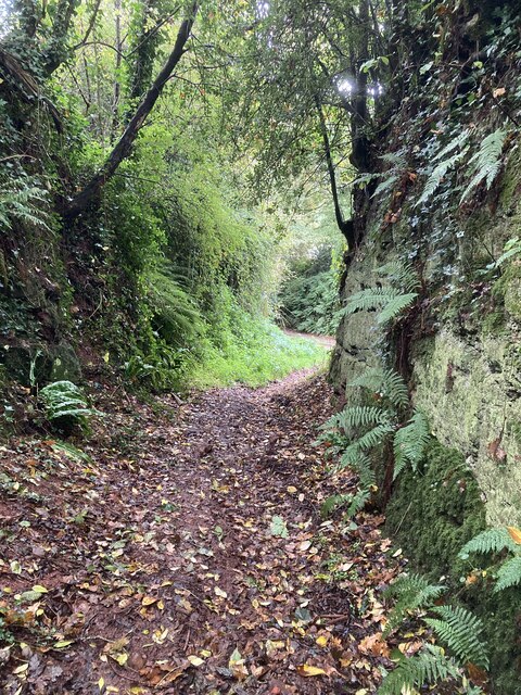
Image: © Hugh Craddock Taken: 20 Oct 2023
Deeply incised holloway, restricted byway Sandford 51 known as Deep Lane, rising from West Sandford towards the ridge road at the top.
Images are licensed for reuse under creativecommons.org/licenses/by-sa/2.0
Image Location
Latitude
50.812328
Longitude
-3.689176