Path, Kipney
Introduction
The photograph on this page of Path, Kipney by Richard Webb as part of the Geograph project.
The Geograph project started in 2005 with the aim of publishing, organising and preserving representative images for every square kilometre of Great Britain, Ireland and the Isle of Man.

There are currently over 7.5m images from over 14,400 individuals and you can help contribute to the project by visiting https://www.geograph.org.uk
Path, Kipney
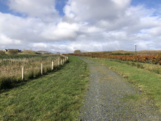
Image: © Richard Webb Taken: 31 Oct 2023
Beside a new driveway. The farm at Kipney is now a large "glass gables". This style of house is common in Glen Almond and another former farm was being converted to the east. There were a lot of targets flying around (red legged partridge).
Images are licensed for reuse under creativecommons.org/licenses/by-sa/2.0
Image Location
Latitude
56.451203
Longitude
-3.674766