Impassable!
Introduction
The photograph on this page of Impassable! by Anne Burgess as part of the Geograph project.
The Geograph project started in 2005 with the aim of publishing, organising and preserving representative images for every square kilometre of Great Britain, Ireland and the Isle of Man.

There are currently over 7.5m images from over 14,400 individuals and you can help contribute to the project by visiting https://www.geograph.org.uk
Impassable!
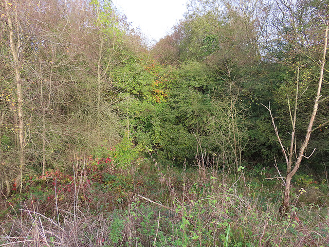
Image: © Anne Burgess Taken: 23 Oct 2023
The maps suggest that this is the former Slamannan Section of the North British Railway, and that it is still extant, but the overbridge has been filled in and the cutting is completely choked with vegetation.
Images are licensed for reuse under creativecommons.org/licenses/by-sa/2.0
Image Location
Latitude
55.948205
Longitude
-3.692378