Path through the graveyard
Introduction
The photograph on this page of Path through the graveyard by Robert Graham as part of the Geograph project.
The Geograph project started in 2005 with the aim of publishing, organising and preserving representative images for every square kilometre of Great Britain, Ireland and the Isle of Man.

There are currently over 7.5m images from over 14,400 individuals and you can help contribute to the project by visiting https://www.geograph.org.uk
Path through the graveyard
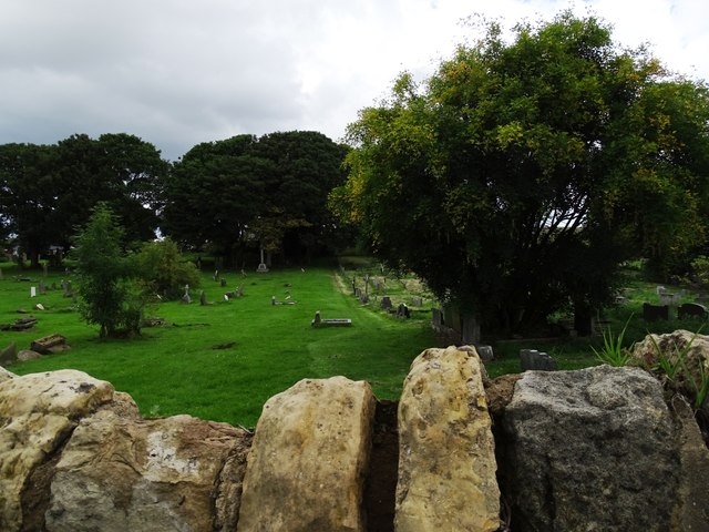
Image: © Robert Graham Taken: 15 Aug 2023
St Cuthbert's graveyard at West Herrington. The public path runs through the middle of the picture, along the edge of the grassed area.
Images are licensed for reuse under creativecommons.org/licenses/by-sa/2.0
Image Location
Latitude
54.870922
Longitude
-1.458172