Llangunnor Trails Information Panel
Introduction
The photograph on this page of Llangunnor Trails Information Panel by Eirian Evans as part of the Geograph project.
The Geograph project started in 2005 with the aim of publishing, organising and preserving representative images for every square kilometre of Great Britain, Ireland and the Isle of Man.

There are currently over 7.5m images from over 14,400 individuals and you can help contribute to the project by visiting https://www.geograph.org.uk
Llangunnor Trails Information Panel
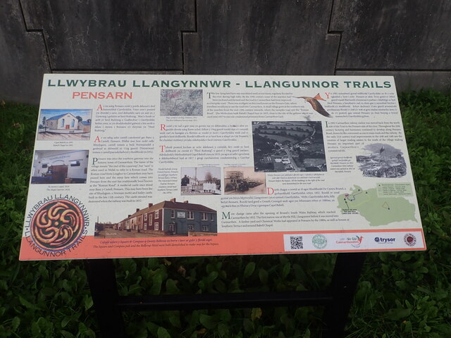
Image: © Eirian Evans Taken: 22 Sep 2022
Near a bus stop on Pensarn Road. The panel gives information about the village of Pensarn which grew here in the C19th and subsequent changes
Images are licensed for reuse under creativecommons.org/licenses/by-sa/2.0
Image Location
Latitude
51.849943
Longitude
-4.305496