Bridleway Junction
Introduction
The photograph on this page of Bridleway Junction by Tony Atkin as part of the Geograph project.
The Geograph project started in 2005 with the aim of publishing, organising and preserving representative images for every square kilometre of Great Britain, Ireland and the Isle of Man.

There are currently over 7.5m images from over 14,400 individuals and you can help contribute to the project by visiting https://www.geograph.org.uk
Bridleway Junction
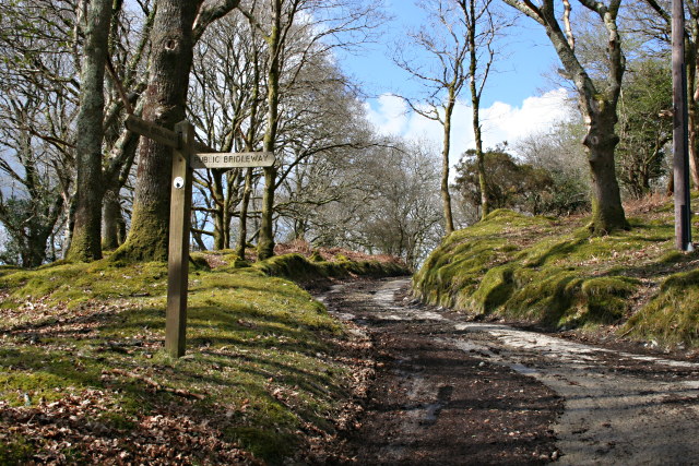
Image: © Tony Atkin Taken: 13 Apr 2008
Just north of Double Waters, the path ahead will take you up the hill towards Tavistock and the path off to the right, along the side of the River Walkham to Grenofen Bridge.
Images are licensed for reuse under creativecommons.org/licenses/by-sa/2.0
Image Location
Latitude
50.510663
Longitude
-4.148627