Sadler's Mill on the River Test
Introduction
The photograph on this page of Sadler's Mill on the River Test by Tim Heaton as part of the Geograph project.
The Geograph project started in 2005 with the aim of publishing, organising and preserving representative images for every square kilometre of Great Britain, Ireland and the Isle of Man.

There are currently over 7.5m images from over 14,400 individuals and you can help contribute to the project by visiting https://www.geograph.org.uk
Sadler's Mill on the River Test
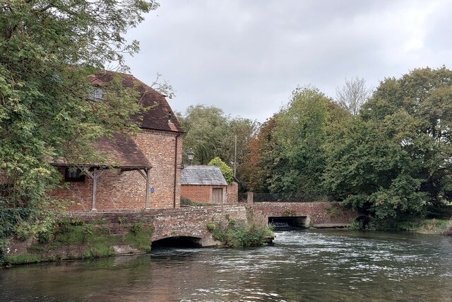
Image: © Tim Heaton Taken: 11 Oct 2023
18th century mill building (with evidence for an earlier, 17th century structure) https://en.wikipedia.org/wiki/Sadler%27s_Mill . Now in residential use.
Images are licensed for reuse under creativecommons.org/licenses/by-sa/2.0
Image Location


Leaflet Map data © OpenStreetMap
Latitude
50.986371
Longitude
-1.506588