Former Dryfesdale Public Old School viewed from Dryfe Road
Introduction
The photograph on this page of Former Dryfesdale Public Old School viewed from Dryfe Road by Roger Templeman as part of the Geograph project.
The Geograph project started in 2005 with the aim of publishing, organising and preserving representative images for every square kilometre of Great Britain, Ireland and the Isle of Man.

There are currently over 7.5m images from over 14,400 individuals and you can help contribute to the project by visiting https://www.geograph.org.uk
Former Dryfesdale Public Old School viewed from Dryfe Road
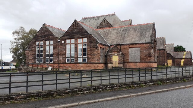
Image: © Roger Templeman Taken: 24 Oct 2023
The site is currently being developed as Lockerbie Old School community hub, https://www.lockerbieoldschool.org/history/ The building previously had a belfry which was an Ordnance Survey intersected station trig point, https://trigpointing.uk/trig/9926
Images are licensed for reuse under creativecommons.org/licenses/by-sa/2.0
Image Location
Latitude
55.126239
Longitude
-3.357875