Farmland, Newtown, Shalbourne
Introduction
The photograph on this page of Farmland, Newtown, Shalbourne by Andrew Smith as part of the Geograph project.
The Geograph project started in 2005 with the aim of publishing, organising and preserving representative images for every square kilometre of Great Britain, Ireland and the Isle of Man.

There are currently over 7.5m images from over 14,400 individuals and you can help contribute to the project by visiting https://www.geograph.org.uk
Farmland, Newtown, Shalbourne
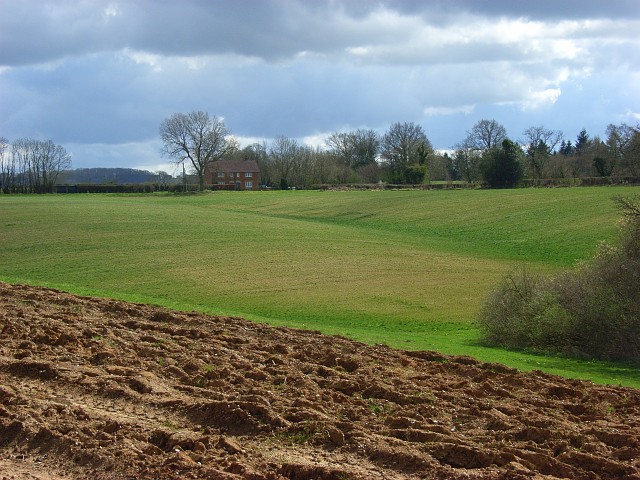
Image: © Andrew Smith Taken: 5 Apr 2008
Gently undulations in land south of Webb's Gully. The house is at the junction of the road to Newtown with the Shalbourne to Bedwyn road.
Images are licensed for reuse under creativecommons.org/licenses/by-sa/2.0
Image Location
Latitude
51.365288
Longitude
-1.573344