McClaren Way, West Herrington
Introduction
The photograph on this page of McClaren Way, West Herrington by Robert Graham as part of the Geograph project.
The Geograph project started in 2005 with the aim of publishing, organising and preserving representative images for every square kilometre of Great Britain, Ireland and the Isle of Man.

There are currently over 7.5m images from over 14,400 individuals and you can help contribute to the project by visiting https://www.geograph.org.uk
McClaren Way, West Herrington
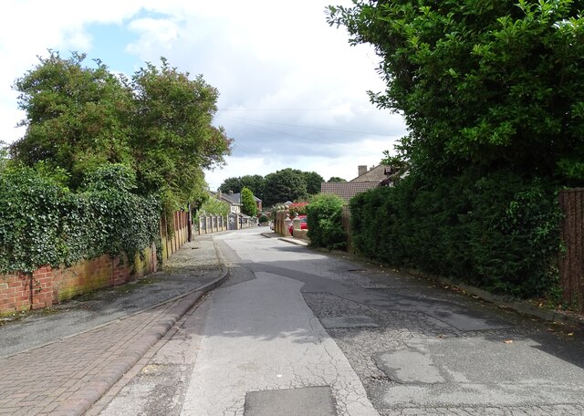
Image: © Robert Graham Taken: 15 Aug 2023
There was a little village here in the 19th century, surrounding Herrington Hall. Virtually nothing remains of that however. It has been replaced by this modern housing estate.
Images are licensed for reuse under creativecommons.org/licenses/by-sa/2.0
Image Location
Latitude
54.871387
Longitude
-1.461594