Benchmark by the A550, Gladstone Way, Queensferry
Introduction
The photograph on this page of Benchmark by the A550, Gladstone Way, Queensferry by John S Turner as part of the Geograph project.
The Geograph project started in 2005 with the aim of publishing, organising and preserving representative images for every square kilometre of Great Britain, Ireland and the Isle of Man.

There are currently over 7.5m images from over 14,400 individuals and you can help contribute to the project by visiting https://www.geograph.org.uk
Benchmark by the A550, Gladstone Way, Queensferry
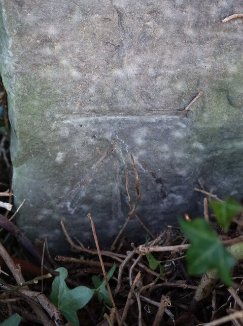
Image: © John S Turner Taken: 10 Jan 2020
Ordnance Survey benchmark on a stone post by the A550, Gladstone Way, Queensferry. The post and cut mark are very well hidden by a hawthorn hedge. The mark was levelled at 12.369m above Newlyn Datum, verified 1958. For a wider view of the hedge corner see: Image Benchmark Database: https://www.bench-marks.org.uk/bm114903
Images are licensed for reuse under creativecommons.org/licenses/by-sa/2.0
Image Location
Latitude
53.201296
Longitude
-3.025772