Fairlight Farmhouse
Introduction
The photograph on this page of Fairlight Farmhouse by Ian Capper as part of the Geograph project.
The Geograph project started in 2005 with the aim of publishing, organising and preserving representative images for every square kilometre of Great Britain, Ireland and the Isle of Man.

There are currently over 7.5m images from over 14,400 individuals and you can help contribute to the project by visiting https://www.geograph.org.uk
Fairlight Farmhouse
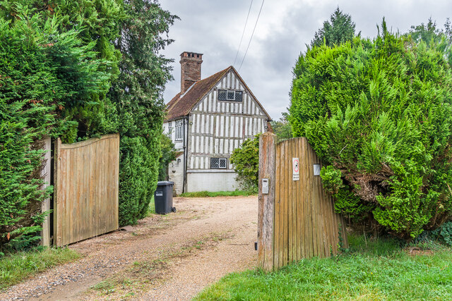
Image: © Ian Capper Taken: 26 Sep 2023
Farmhouse with 16th Century origins. Grade II listed - see https://historicengland.org.uk/listing/the-list/list-entry/1248944?section=official-list-entry.
Images are licensed for reuse under creativecommons.org/licenses/by-sa/2.0
Image Location
Latitude
51.13129
Longitude
0.014202