Brook Street, Broughty Ferry
Introduction
The photograph on this page of Brook Street, Broughty Ferry by Val Vannet as part of the Geograph project.
The Geograph project started in 2005 with the aim of publishing, organising and preserving representative images for every square kilometre of Great Britain, Ireland and the Isle of Man.

There are currently over 7.5m images from over 14,400 individuals and you can help contribute to the project by visiting https://www.geograph.org.uk
Brook Street, Broughty Ferry
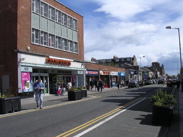
Image: © Val Vannet Taken: 7 May 2005
Broughty Ferry was an independent burgh until 1913. After this date, it was absorbed by Dundee and has gradually evolved into a residential suburb for Scotland's fourth largest city.
Images are licensed for reuse under creativecommons.org/licenses/by-sa/2.0
Image Location
Latitude
56.467152
Longitude
-2.874126