Main Street in Upton
Introduction
The photograph on this page of Main Street in Upton by Jonathan Clitheroe as part of the Geograph project.
The Geograph project started in 2005 with the aim of publishing, organising and preserving representative images for every square kilometre of Great Britain, Ireland and the Isle of Man.

There are currently over 7.5m images from over 14,400 individuals and you can help contribute to the project by visiting https://www.geograph.org.uk
Main Street in Upton
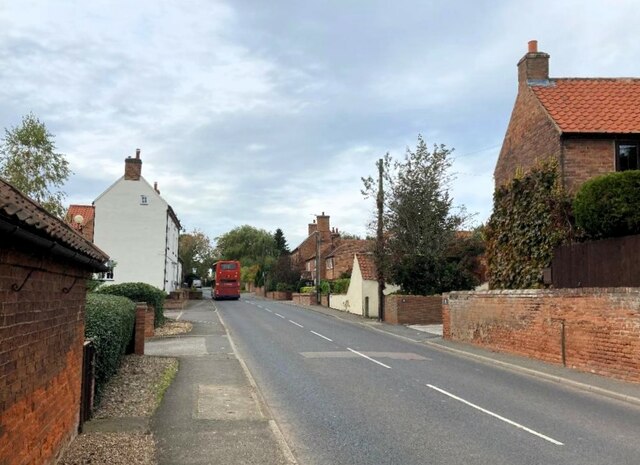
Image: © Jonathan Clitheroe Taken: 18 Oct 2023
Looking west along Main Street. The white building on the left is the former French Horn pub and rumbling past it is the 29 bus service bus from Newark to Mansfield.
Images are licensed for reuse under creativecommons.org/licenses/by-sa/2.0
Image Location
Latitude
53.081824
Longitude
-0.89985