Path in Herrington Country Park
Introduction
The photograph on this page of Path in Herrington Country Park by Robert Graham as part of the Geograph project.
The Geograph project started in 2005 with the aim of publishing, organising and preserving representative images for every square kilometre of Great Britain, Ireland and the Isle of Man.

There are currently over 7.5m images from over 14,400 individuals and you can help contribute to the project by visiting https://www.geograph.org.uk
Path in Herrington Country Park
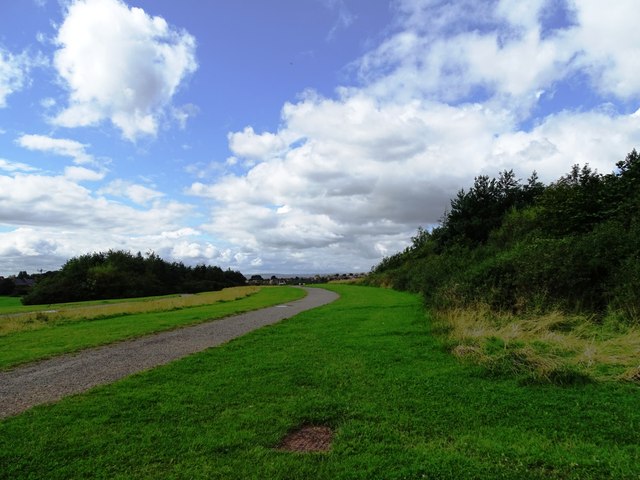
Image: © Robert Graham Taken: 15 Aug 2023
Vie looking to the southwest. The 200 hectares of the restored mining site at Herrington has a network of paths running through it.
Images are licensed for reuse under creativecommons.org/licenses/by-sa/2.0
Image Location
Latitude
54.871987
Longitude
-1.475455